Services
Highlights


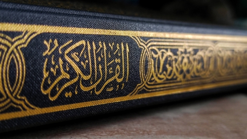


"
Muhammad is not the father of [any] one of your men, but [he is] the Messenger of Allah
and last of the prophets. And ever is Allah , of all things, Knowing. "
Quran 33:40
Quran 33:40
News Around the World
LIFE & SOCIETY
THEGUARDIAN.COM
Where are they supposed to sleep?’: US supreme court appears divided on key homelessness case
FAITH & SPIRITUALITY
USNEWS.COM
India’s Modi Calls Rivals Pro-Muslim as Election Campaign Changes Tack
NATURE & SCIENCE
KYGO.COM
Admission to the Denver Museum of Nature & Science is FREE this weekend
WORLD AFFAIRS
ALJAZEERA.COM
Watching the watchdogs: The media downplays a big legal story at its peril
WORLD AFFAIRS
ALJAZEERA.COM
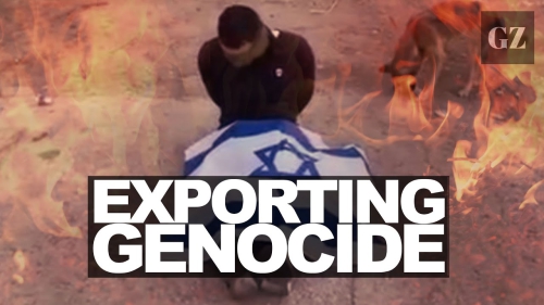
‘Fire and forget’ in Gaza
WORLD AFFAIRS
ALJAZEERA.COM
Post-1948 order ‘at risk of decimation’ amid war in Gaza, Ukraine: Amnesty
WORLD AFFAIRS
ALJAZEERA.COM
Parallel economy
WORLD AFFAIRS
ALJAZEERA.COM
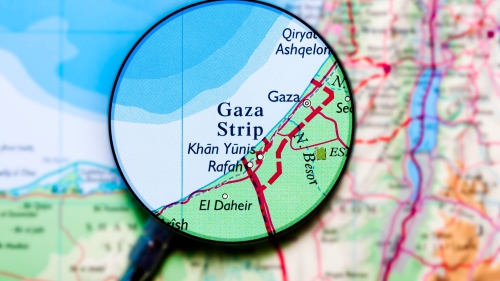
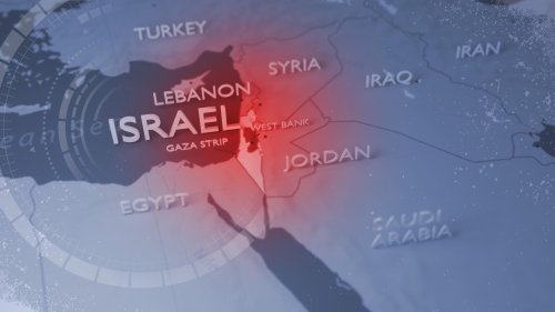
In numbers: 200 days of Israel’s war on Gaza
WORLD AFFAIRS
THEHILL.COM
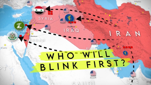
Russia to intensify attacks on Western weapons stored in Ukraine, Kremlin warns
WORLD AFFAIRS
BBC.COM
UNRWA: Restart aid to Palestinian UN agency, EU urges
WORLD AFFAIRS
COMMONDREAMS.ORG
UN Rights Chief demands international probe of mass graves near Gaza hospitals